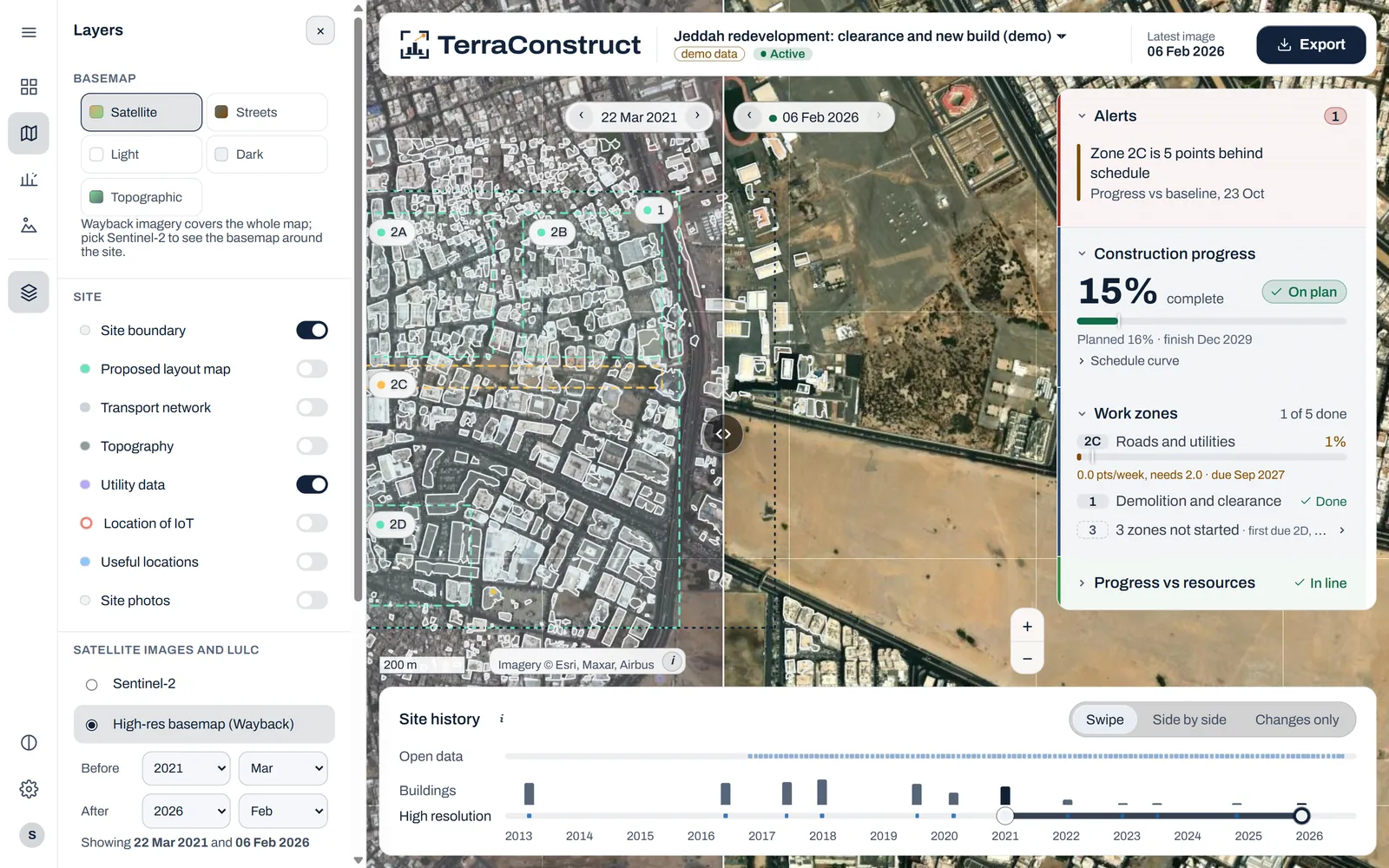
Construction monitoring
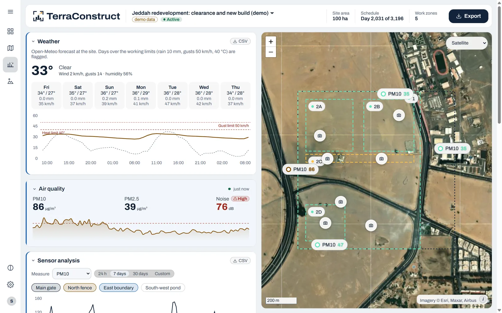
TerraConstruct
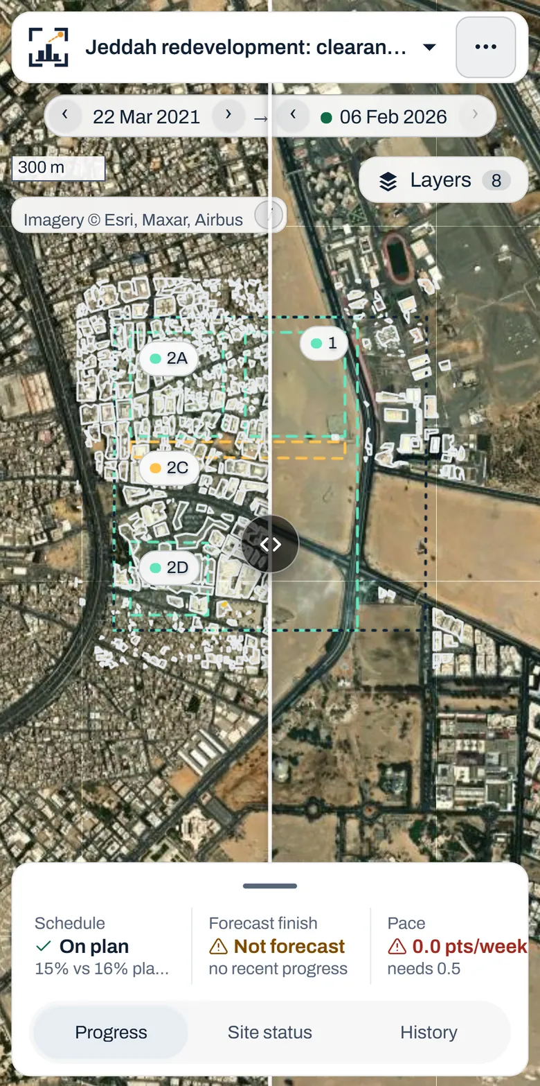
Progress, forecasts and alerts for every site — measured from orbit.
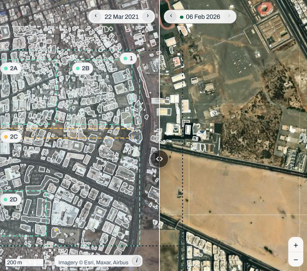
- Satellite history since 2017
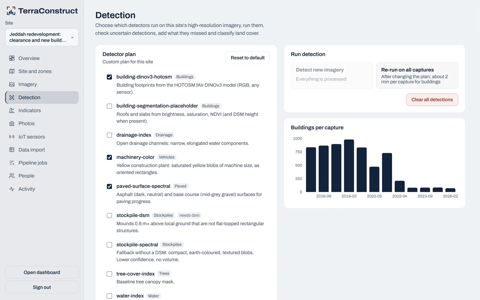
- Automatic building and plant detection
- IoT sensors and geotagged site photos
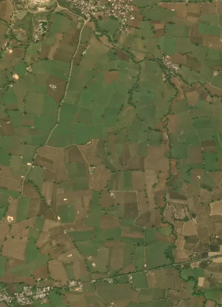

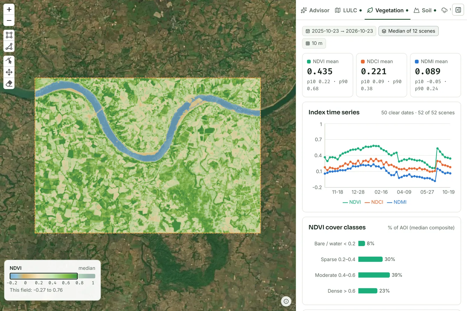
11 km² · crop health by AI
Geospatial AI and remote sensing for construction, farming and climate.
01 Capabilities
Buildings, boats, vehicles and roads, found automatically.
Terrain models, canopy height and 3D point clouds.
Habitat mapping and ecosystem health indicators.
Project development, baselines and long-term MRV.
Monthly change since 2017, flagged as it happens.
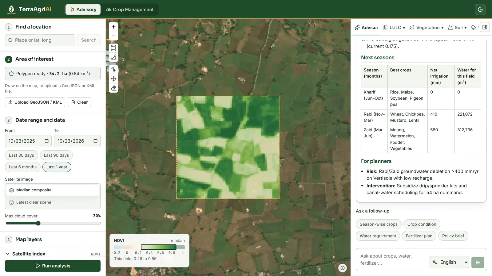
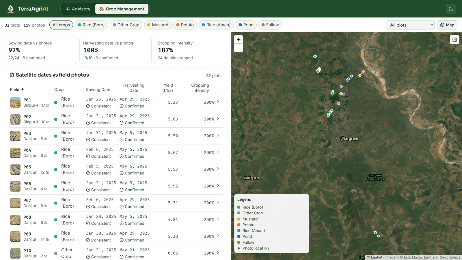
Crop type, condition and water stress per field.
Geospatial AI
Models tuned for satellite, aerial and drone imagery.
02 Products
Construction monitoring
Progress, forecasts and alerts for every site — measured from orbit.
Satellite crop advisory
Field-level crop advice from satellite, soil and weather data.
03 Climate
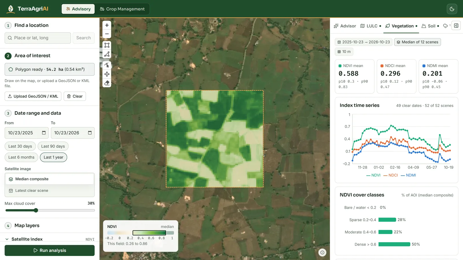
Example Baseline analysis
Esri 10 m land cover and Sentinel-2 vegetation indices, analysed in TerraAgriAI.
Get a baseline for your site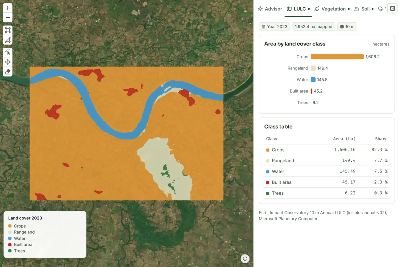
04 Section 8 · Not-for-profit
Every surplus goes back into open geospatial tools for farmers, communities and conservation.
05 Contact
Tell us about your site, region or project.